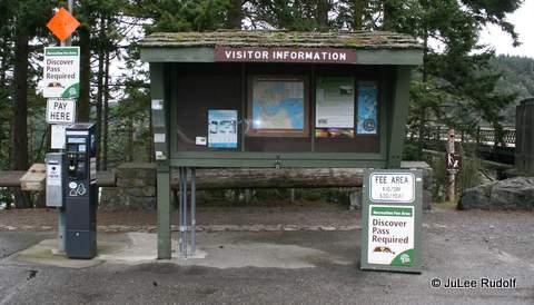
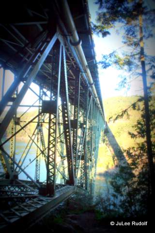
Now that I’ve finally figured out the trail system around Goose Rock, I have decided that these are the two most ideal hikes in terms of time, effort and scenery that begin from the parking lot north of Deception Pass Bridge. Either way, you’ll need to park, display your Discover Pass, and head towards the stairs to the left of the bridge.

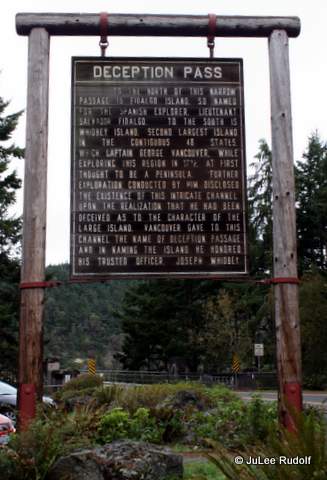
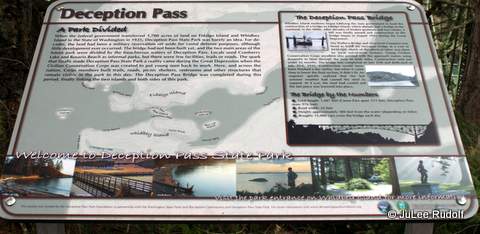
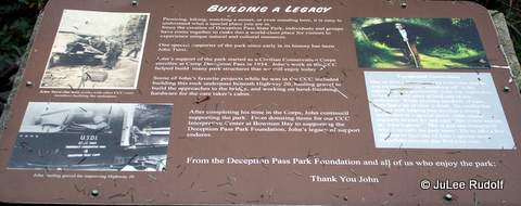
On your way, take a look at this conspicuous sign.
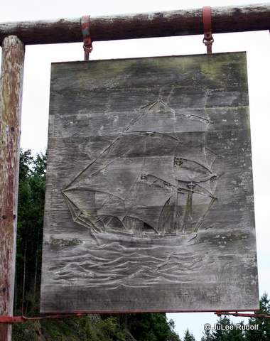
As you pass by, take a look at the back, which shows a ship that for some reason, I had not noticed during the many times I’d driven by it before.
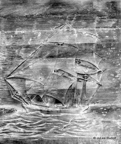
Here is a cropped and edited version. Hmm…Sign Unseen (more appropriately, Unnoticed…until now)
Eventually, you’ll want to head down the stairs.
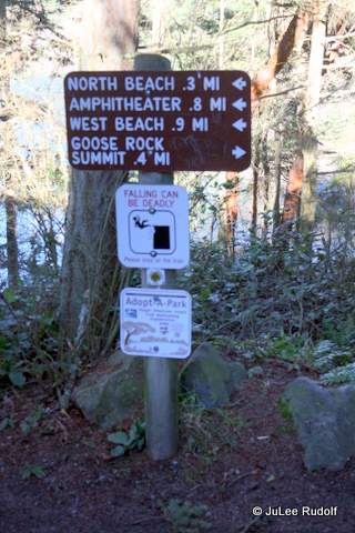
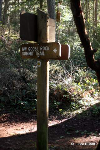
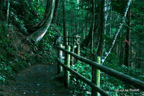
If the sky is clear, I recommend that you go right and proceed towards the summit of Goose Rock. This morning I hiked from the base of the stairs to the top, with no dawdling, in about ten minutes. If it’s your first time, you’ll want to pay attention to the signs. At first, the path is obvious. Turn right here to head towards the summit.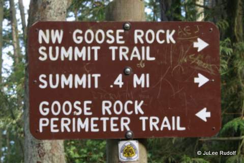
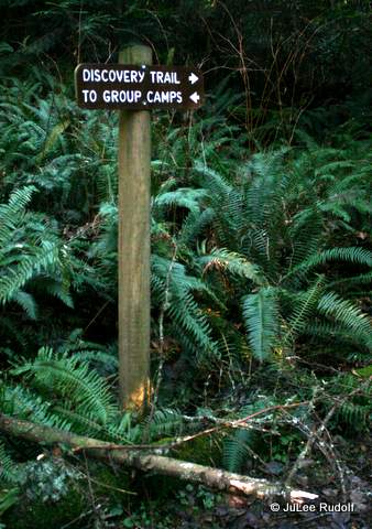
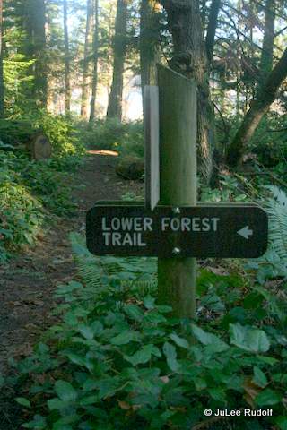
The only place you might make a mistake would probably be by missing this sign. Follow the direction arrow towards the left, because if you don’t, and instead head down and towards the right, you’ll end up on a much longer hike along the Discovery Trail.
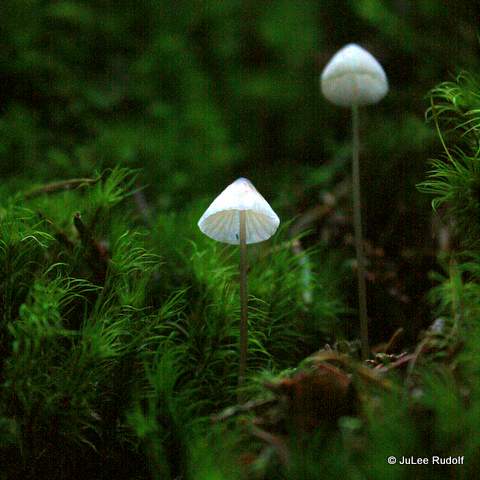
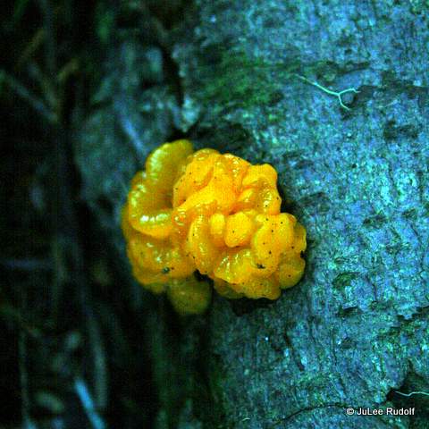
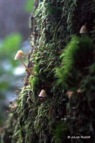
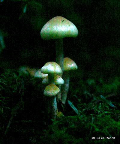
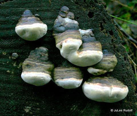
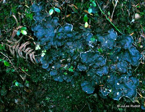
There are many types of mushrooms, plants and birds to see along the way.
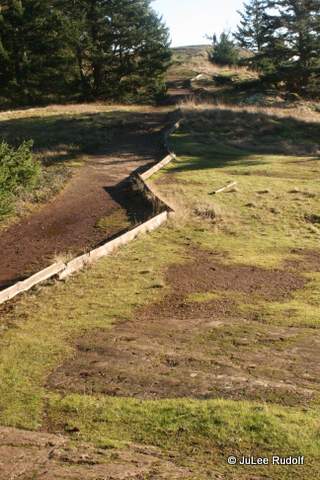
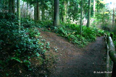
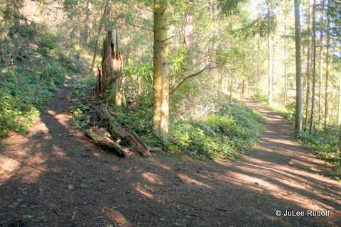
About ten to fifteen minutes after you start, you’ll have likely reached the top. You can head towards the left, shown in the following photo, which, if you continue along it, will take you down the south side of Goose Rock towards the Quarry Pond campground. At the top, there are a few open areas large enough to fit a picnic blanket and, in fact, the day I took the following photo, a family was picnicking nearby.
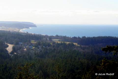
For a view of the coastline, head instead towards the right, knowing that whatever you do, you’ll have to come back to the same spot and back track to return to the parking lot (the trail at the top does not loop).
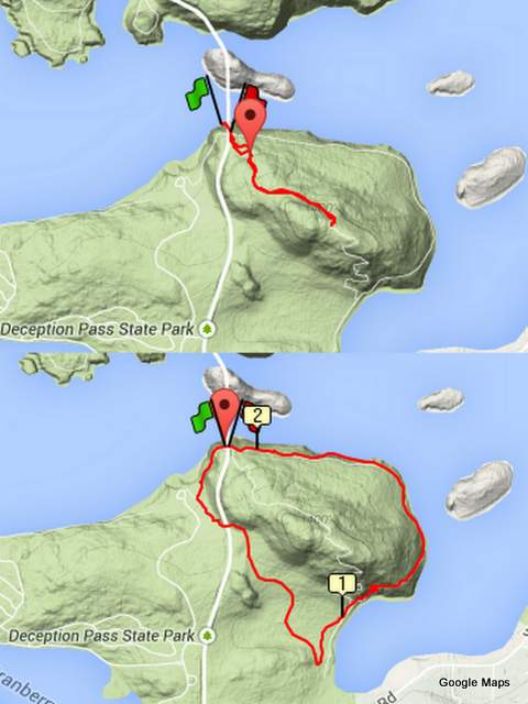
Round trip, the 0.9 mile hike takes about 20 minutes, plus time to stop at the top. My GPS watch shows the route like this.
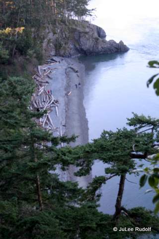
If you arrive on a cloudy day, or you have more time, one of my favorite all-time hikes from the parking lot south of Deception Pass Bridge, which is also makes for a nice but super short trail run, is the Discovery Trail plus Perimeter Trail, which I like to complete in the counterclockwise direction just because. This is a little trickier. At the base of the stairs, head left towards North Beach. There are some nice views of Lighthouse Point, Lottie Point and soon, North Beach.

Within about five minutes, you’ll reach the completely unmarked start of the Discovery Trail. If you are paying attention, it seems obvious, but if you miss it, you’ll end up at West Beach.
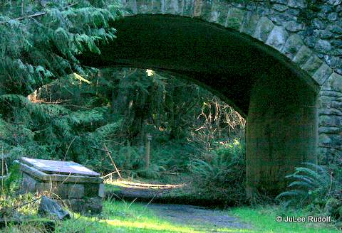
Within a few minutes, you’ll know that you are on the correct path as you will pass a sign before hiking under Highway 20.
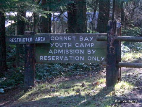
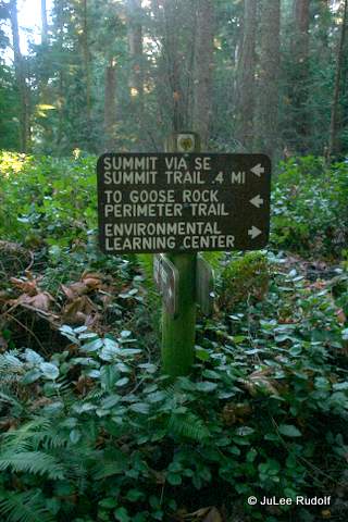
Soon you’ll reach the southernmost part of the trail with this conspicuous sign. If you head towards the right of the sign, you’ll reach the Quarry Pond campground. To continue the hike, take a sharp left (the trail that is nearly parallel to the sign and to the left will lead you close to the water and you’ll have to turn around).
You’ll pass a couple of signs to the right. Remain on the main trail.
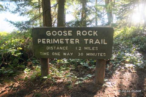
Eventually, you’ll reach a Y. Signs (and logic) indicate that to stay on the Perimeter Trail, continue to the right.
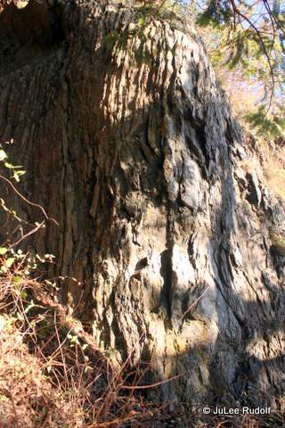
Cornet Bay will be visible on the right. As you head up, you’ll notice it getting rockier.


Soon, you’ll be back at the bridge. The approximately 2.2 mile hike takes about 45-50 minutes, closer to an hour if you stop often, which I hope you choose to do.

This is spectacular!!! Great article, JuLee and wonderful pictures. Very impressive
LikeLike
Very helpful. Thank you!
LikeLike
You are very welcome 🙂
LikeLike