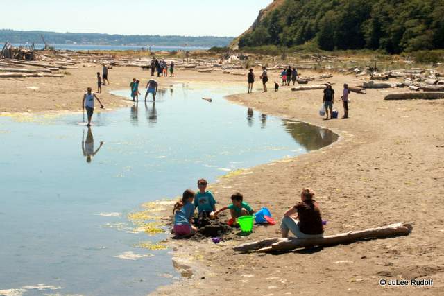
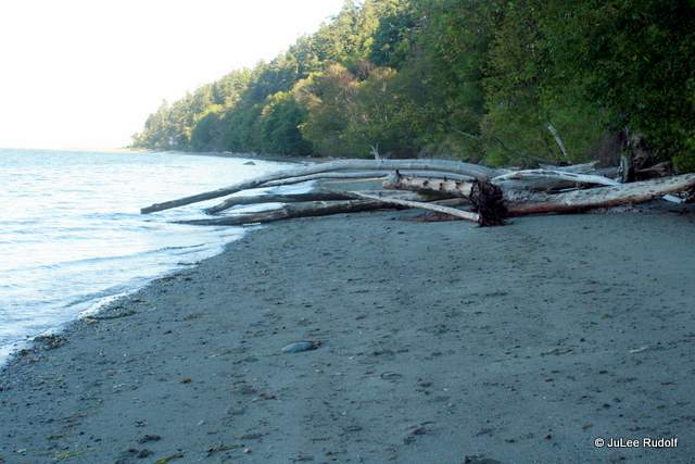
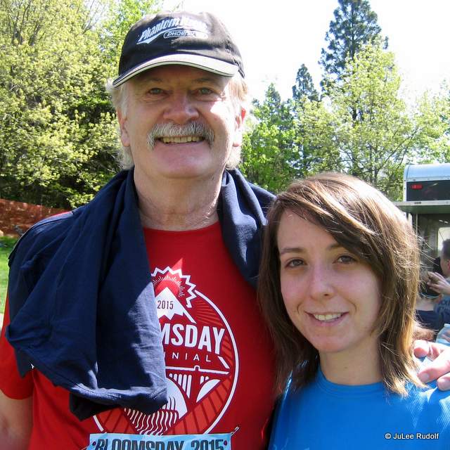
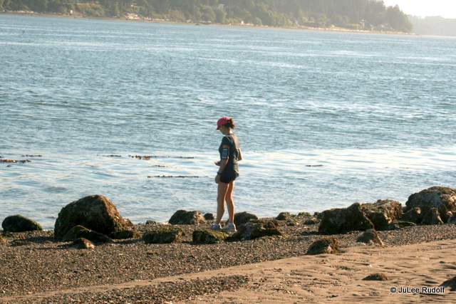
This weekend I finally had the chance to revisit one of the most vast, flat, sandy, scenic beaches on Whidbey Island: Double Bluff County Park.  According to the Washington Department of Fishing and Wildlife site, “While the tidelands are a State Park, Double Bluff Park (the upland portion of the park) is operated by the Friends of Double Bluff and Island County. There are bathrooms, outdoor showers, picnic areas and a pay phone at the access area. This is an off-leash dog park. This beach features views to the south of Mt. Rainier.” The harvest profile states, “Double Bluff State Park, also known as Useless Bay Tidelands, is a 24,354 foot stretch of beach on the southwest shore of Whidbey Island. The beach is wide and sandy at the access and becomes rockier with cobble and large boulders towards the west. Two large unstable bluffs are the major feature of the uplands. Clam habitat is patchy and restricted to the cobble areas in the lower intertidal. While butter clams are the species most commonly harvested at this beach, native littleneck clams, cockles, horse clams, eastern softshell clams, and macoma clams are also present in lesser numbers.” My friend Janice (this shot from earlier in the day at City Beach)
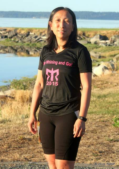 and I were killing time after completing our running distances of Ragnar Northwest Passage 2015 in Coupeville as part of Van 1 while our teammates in Van 2 continued on to the finish line in Langley and decided to check it out.
Heading south on Highway 525, we turned west onto Double Bluff Road and followed it for about two miles. From my last visit, I remembered the tiny lot, which contains fewer than two dozen parking spaces, so we stopped as soon as we found a wide enough stretch of shoulder along the road to pull over, parked, and headed towards the beach.
The walk took a while because there were a zillion others who’d had the same idea on this super warm, sunny Saturday. Janice was surprised to run into friends from Bellevue where she lives visiting Double Bluff. Turns out they make the trip often. In fact, it’s their favorite beach. I was surprised at how uncrowded it seemed after seeing all those cards lined up along the road on our way in.
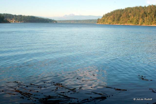
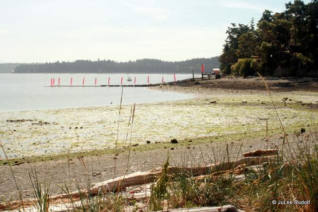
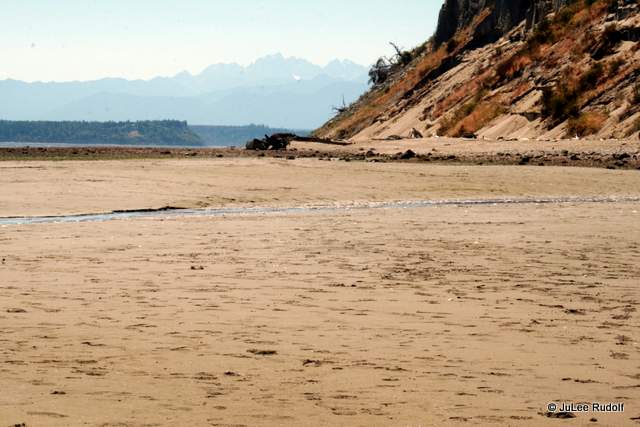
Once in view of the beach,  we noticed the nice waterfront homes to the northeast,
  Mt Rainier to the southeast
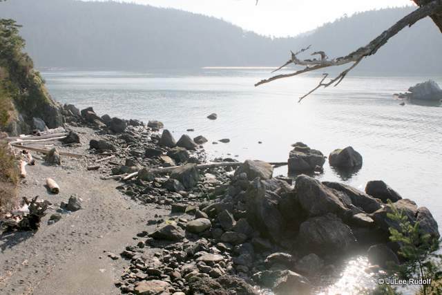
 and the bluffs to the southwest.
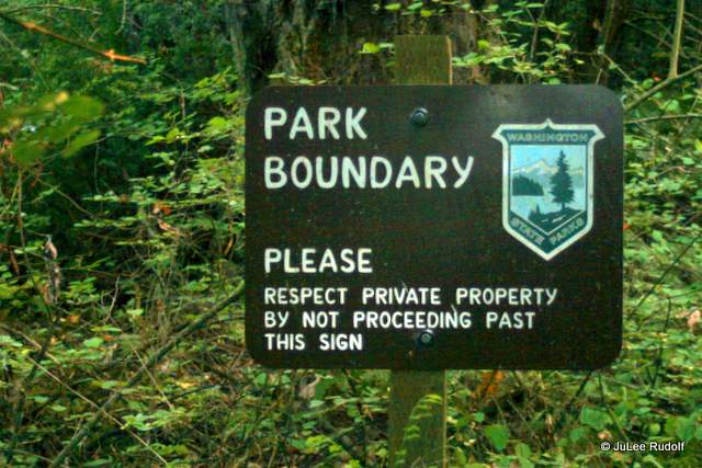
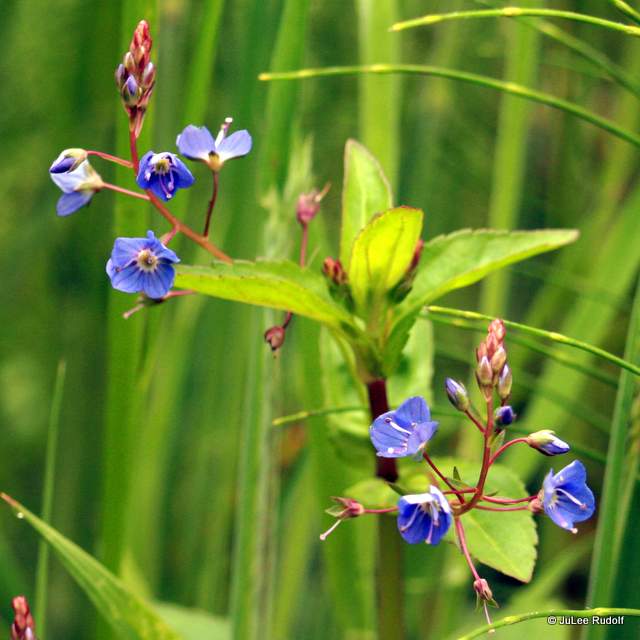
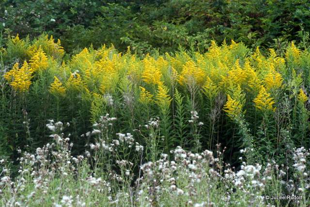
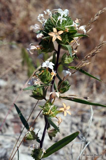
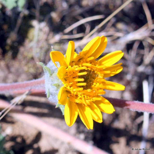
 Flags rustled in the breeze of a perfect-weather summer day. I had not remembered that the public was not allowed in towards Shore Ave. A conspicuous sign surrounded by yellow (gumweed) flowers warned, “No Trespassing – Private Beach and Tidelands East of Here.”
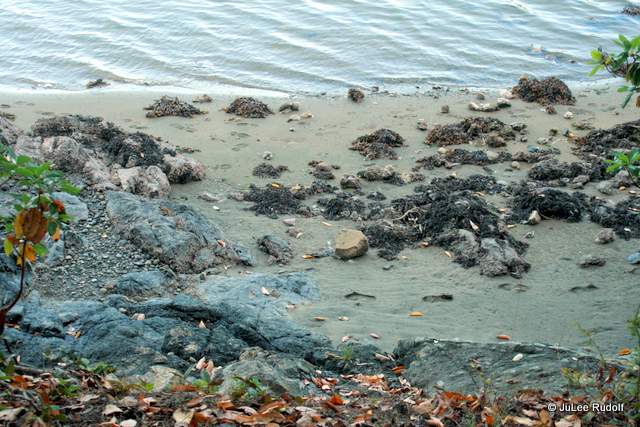
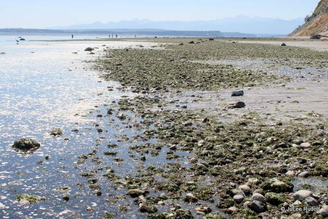
 No matter. There was plenty of flat, sandy beach to enjoy to the west. Dozens of persons were there that day,

 clamming, sunbathing, making sand castles, allowing their dogs to frolic off-leash (permitted) and even swimming. The tide was so low that several boats were beached.
 As we reached the stairs from the paved area to the beach, we noticed a couple of guys wearing name tags, each carrying a bucket and a shovel. When asked, they told us they’d held a successful clam-digging class, but had no bivalves to show for it.
We noted the excellent visibility that allowed a look at Mount Rainier and other unknown peaks, wandered past standing salt water, picked our way across a driftwood strewn section marked with a sign and flag to indicate the start of the off-leash dog zone area, and continued towards the tide line in hopes of seeing sea creatures.
 The FETCH (Off-leash parks on Whidbey Island) site paints a can’t-wait-to-take-my-dog-there picture of the place, “Running along the base of steep Double Bluff, the Double Bluff Beach Off-Leash Area is a two-mile-long stretch of salt water beach on Useless Bay. At the base of the bluffs, enormous tangles of driftwood make great doggy jungle gyms. When the tide is out, the beach is hundreds of feet wide but even at high tide, the beach is wide enough for dogs to run themselves to a state of blissful exhaustion.”
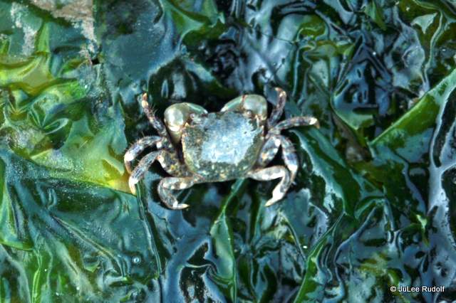
 A tiny (shore) crab hung out alone in the middle of an expanse of sand (more from the Department of Fisheries site, “Several species of tiny shore crabs can be found on Washington beaches. Contrary to what many believe, these are not the young of larger ocean crabs, but are simply small sized species. Under most rocks on Puget Sound shores you can find tiny black or gray hairy shore crabs ranging in size from smaller than a fingertip to about the size of a half-dollar. These are of two species, Hemigrapsus nudus and H. oregonensis.”) I suspect it was a green shore crab.
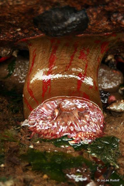
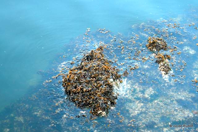
Anemones awaited the waters’ return. Seaweed floated.
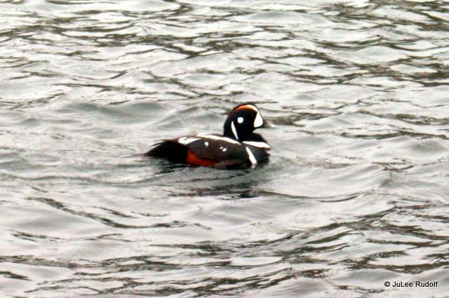
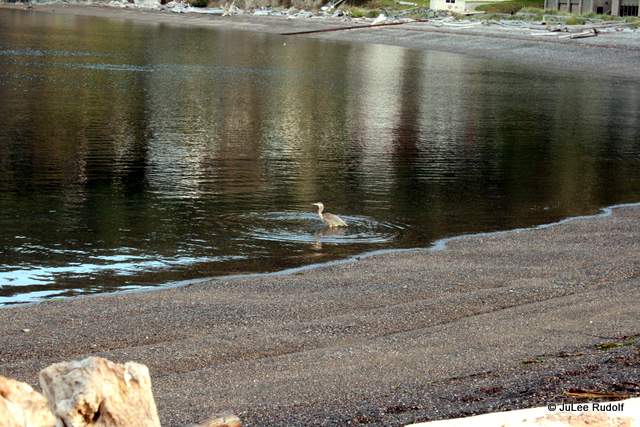
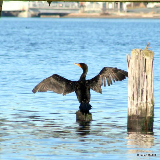
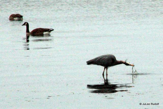
And herons fished while we continued across tiny channels and enjoyed views of the bluff,

the beach and the mountains. We talked about stuff like individuals’ versus religious rights, the increased difficulties and pressures our (two teenagers each) kids face as they attend high school in hopes of getting accepted into a college they hope to attend versus our own experiences (we met in college), and issues surrounding the Confederate flag while tracking the time and trying to be present (remnants of a vanmates thoughtful talk about being mindful and present while participating in Ragnar) and appreciative of our Double Bluff experience. In less than an hour, we knew we needed to make our way to the Ragnar finish line at the Island County Fairgrounds.
As we neared the shore near the bluff, we noticed more clammers, persons finding shade under makeshift driftwood shelters and others along the edge of the beach staying out of the sun and a really rocky area exposed during the day’s low tide.
 Fewer than 60 minutes later, we made our way back across the sandy, then rocky, then water channel-y, then driftwood-y sections towards the parking lot, passing a red rock crab that looked like I felt after completing over a 25k worth of Ragnar Relay miles, the last half (along West Beach) on just over three hours of sleep.

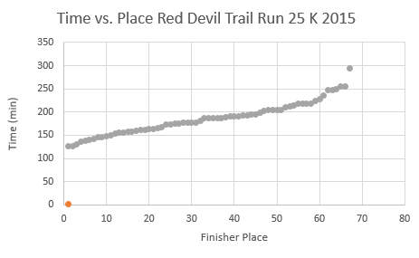
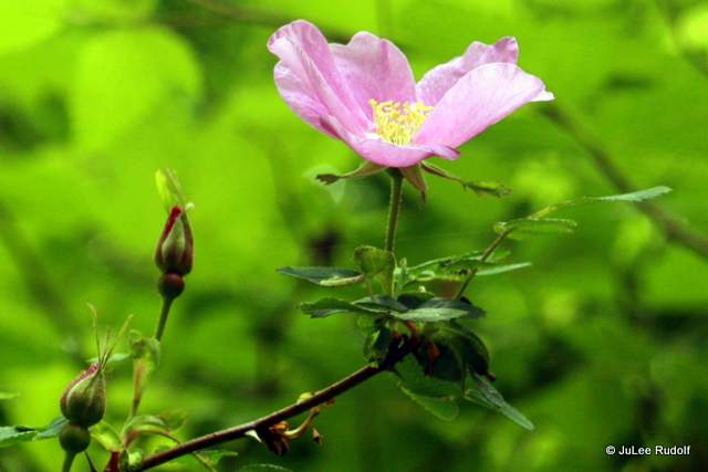
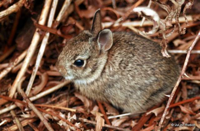
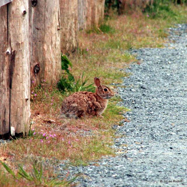
Half an hour later, we’d followed the Ragnar directional signs and runners to the finish line in time to join our twelfth woman, a super speedy gal named Sonia, fly across the finish line. Double Bluff County Park has an extensive, super flat sandy beach that extends for (4.6) miles, beautiful views of mountains (including Rainier), anemones, crabs, bivalves, birds, rabbits, picnic tables, driftwood and lots of other things that make it a perfect place for a quick picnic or hours of fun in the surf and sun.

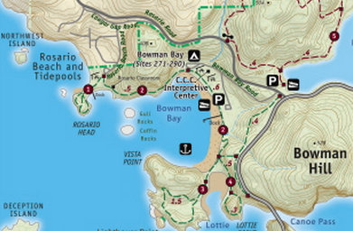
 First, the tide pools, also known as the Urchin Rocks, for reasons that will become obvious when you arrive. En route, stop at the kiosk (you’ll pass it and the new restroom facilities on your way). Check out the sketch on the back side to see examples of creatures you might encounter during low tide. The informational sign shows several creatures that I have yet to find, including nudibranchs and octopuses.
 Then follow the path towards the water and head to the rocks on the right. During the summer, a Beach Watcher will likely greet you. She is there to remind you to tread carefully on the rocks, which are covered with mostly small, often delicate creatures, and follow the rope path along the rocks to minimize damage to living things.


 Finally, spend some time hiking either along the north side (which is rocky), central or south side trail to Rosario Head. From


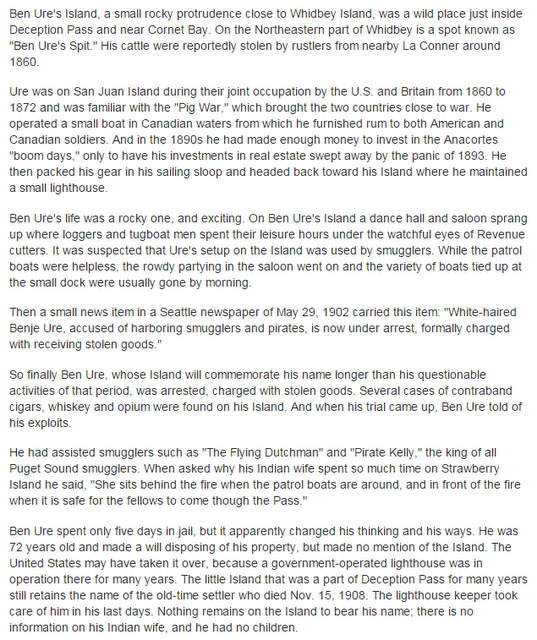

 Better said than done. Scrapy sounds of barnacles on the 110 pound borrowed plastic hull stressed us out as we drag/carried it across the rocks to higher ground, then debated the best place to store it to prevent its disappearance during the 1:00 am high tide. I used the one knot I know, the bowline, to attach it to a tree, after which we headed up the hill, then to the east down the trail to the cabin.
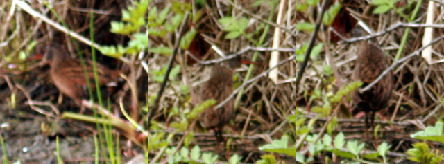
 As we rounded the last corner along the perimeter of the island, I heard the call of my nemesis bird and, of course, took a totally lame photo of the belted kingfisher that would continue to fish (and mock me with its call) during of our stay.


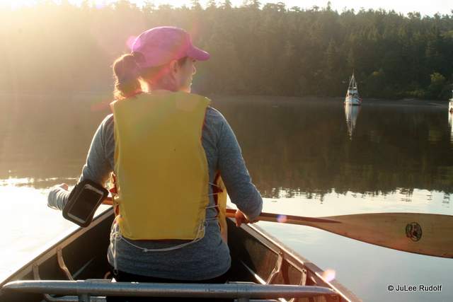
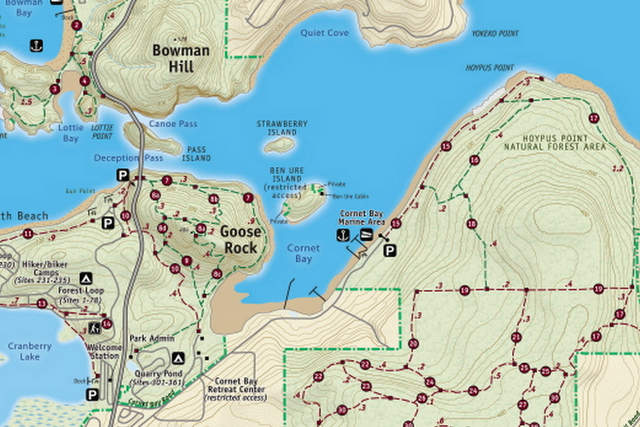
 Both of us were insomniacs that night. We hadn’t thought to turn up the heater as the temperature was perfect when we went to bed, because of which we ended up feeling cold in addition to uncomfortable on the futon. The next morning, the sun streamed in early in through the curtainless square window pane french door. So, we were easily up at 6:00 am, ready to return to Cornet Bay. We were relieved that the canoe hadn’t floated off during high tide, but dreaded drag/carrying it back down through the barnacle-encrusted rocks and seaweed into the bay. The water was calm as we paddled back to the shore near the boat launch area.
 After securing the canoe with a bike lock while we waited for the brawn to arrive to help us return it to the top of our vehicle, we we walked the mile to the end of Cornet Bay Road, then returned to the boat launch along the shore, beach combing during the low tide.
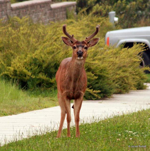
  We collected shells and sea glass and pointed out cool creatures to each other like jellyfish, chitons, plumrose anemones, burrowing sea cucumbers and crabs. In the parking lot, we encountered a family of deer.


 We did the same thing again that night though were better prepared, returning to the cabin with the previous day’s knowledge about the optimum beaching spot, arrived later, handled the heaters better and actually got a little shut eye, both of us figuring it was because we were so tired from lack of sleep the night before.


 About half an hour before low tide, I arrived at

 Although only one other vehicle was parked in the lot when I got there, several others arrived within minutes.
 The technique I’d been told in the past was to watch for squirting water, which the bivalves squeeze through their siphons, unintentionally indicating their presence, then dig a hole about a foot deep at that location.
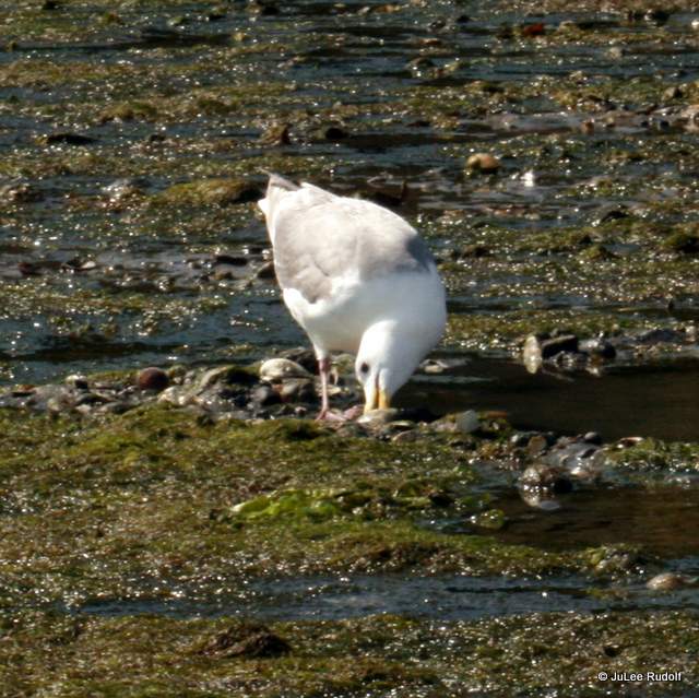
 I also also observed a California bay shrimp for the first time ever and some small fish that swam too fast to photograph.
 Later I removed mainly the stomach, which is pretty big, then rinsed and chilled the small amount of chopped clams I had left to use in my chowder. I followed Michael’s instructions, placing the clams in at the very end, after the potatoes were done, and only long enough to heat them up. I wasn’t as impressed as I’d hoped to be. The soup was good, except for the clams, which were tough. My family agreed that we preferred the recipe made with crab meat instead of clams.
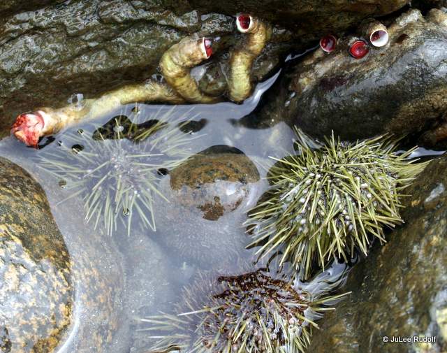
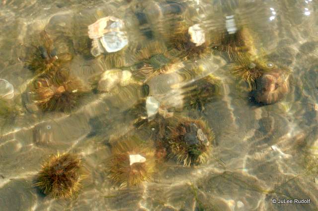
 The following day I returned, channeling Frederick, in hopes of finding exposed green urchins.
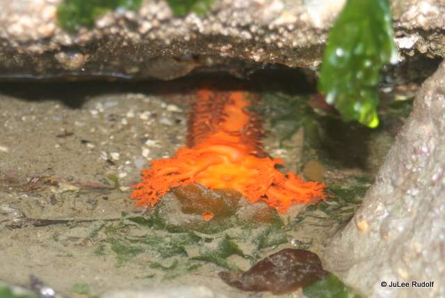
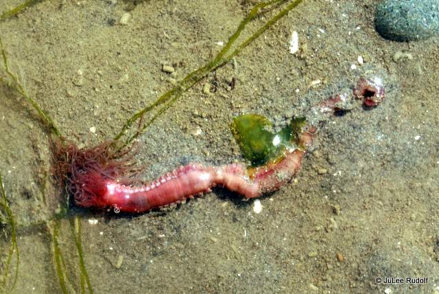
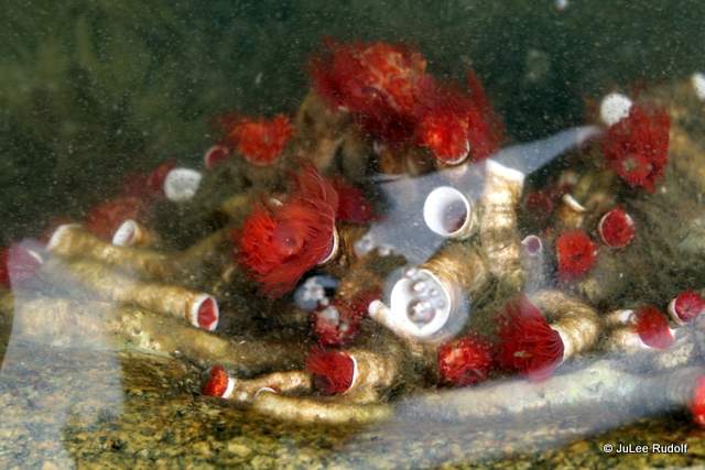
 And did. I wandered along the water’s edge snapping photos not only of these small spiny creatures, but also a pileworm, unknown worm, feather duster worms (which were everywhere), ghost shrimp, sea stars, burrowing sea cucumber and some sort of brown anemone.
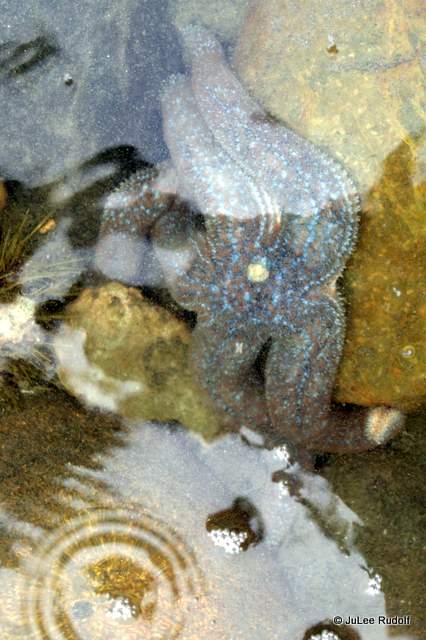


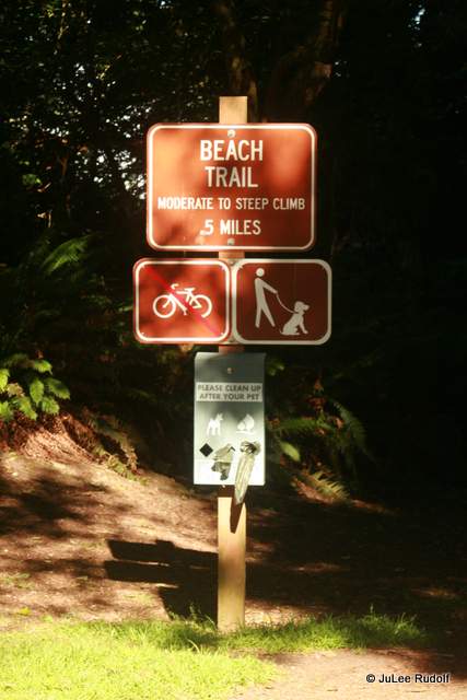
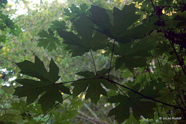
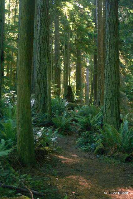
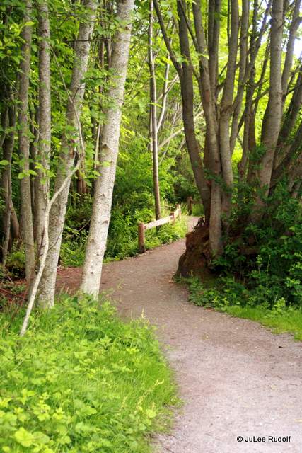
 The first thing I noticed was the greenery. Sword ferns and maple trees lined the well-packed path. The sign said “moderate to steep climb” but, except for the last bit before the b
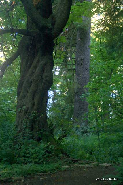
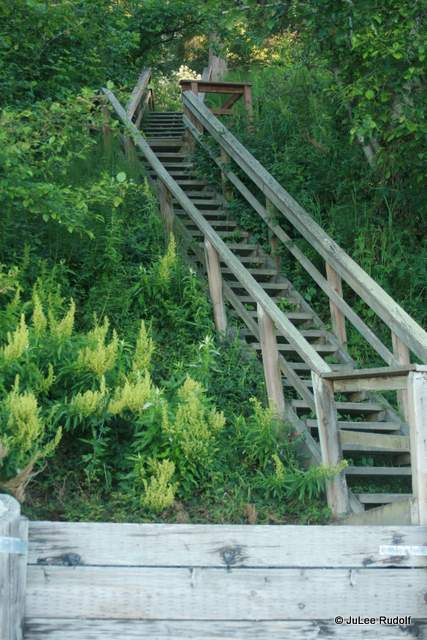 Ten minutes later, I exited a set of steep stairs that led to the beach. (This is looking back up.)
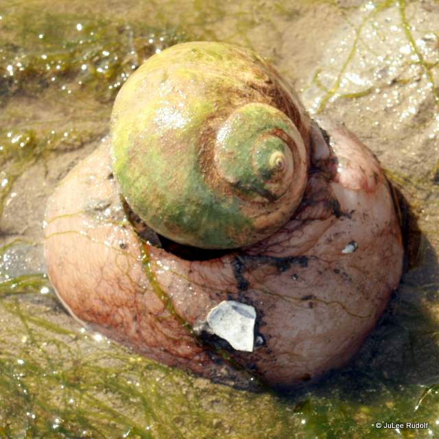
 Once there, I checked out the shoreline in hopes of finding some shells, but as is typical of a lot of beaches along Whidbey, I found mostly rocks and different species of seaweed.

 Towards the south, I noticed the horsetails and other grasses growing along a sandy hillside.
 I experimented a little with my camera’s shutter speed while getting some shots of the water. For a short while, I was the only one there. At least I thought I was.
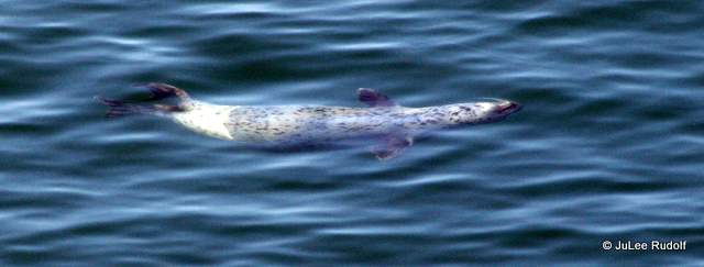
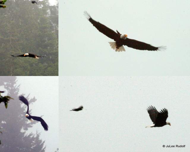
 In fact, there was at least one seal swimming around in the water. Off in the distance, I noticed a Bald eagle, which is almost a daily occurrence around here.
 The bigger surprise was the osprey that showed up and then spent nearly ten minutes fishing, diving into the water multiple times before it finally grabbed one. I took a bunch of photos, but the whole telephoto-lens-with-bird-in-motion can be a little tricky. I ended up with just a few cool shots, among them, this one of the osprey flying off to its nest with a fish. Except for the family that arrived not long after the osprey, the beach was deserted. It was a peaceful place to spend some time in the morning before the crowds arrived.
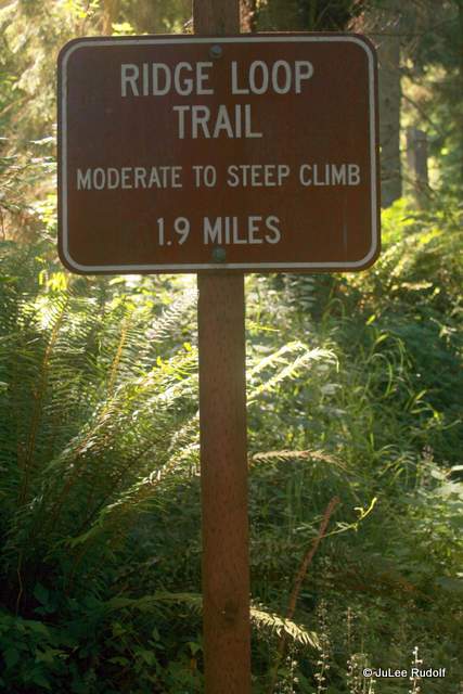 Across the road, I found the Ridge Loop Trail head, shown on this
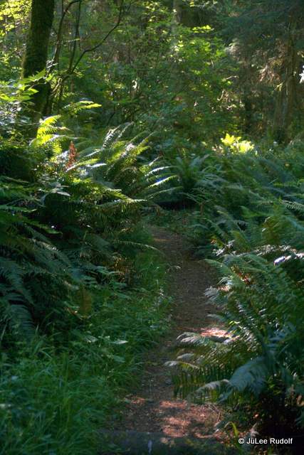
 Again, based on the wording on the sign, it sounded hard, but was actually an easy hike.
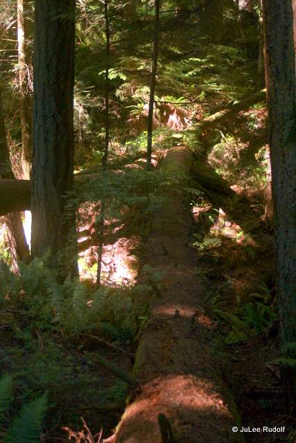 I resisted the urge to try to cross without falling and continued along the trail.
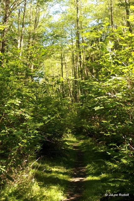
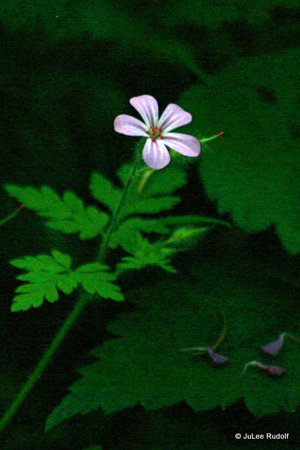
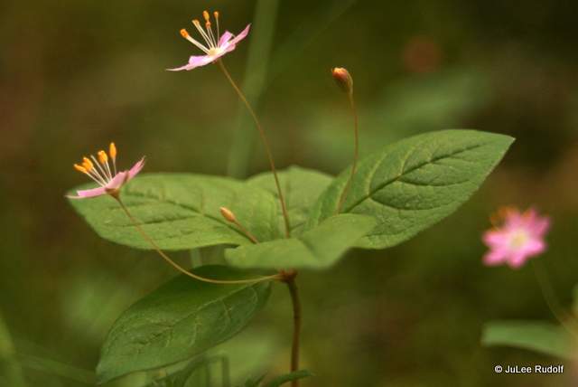
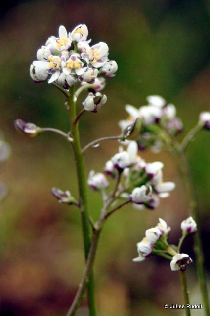
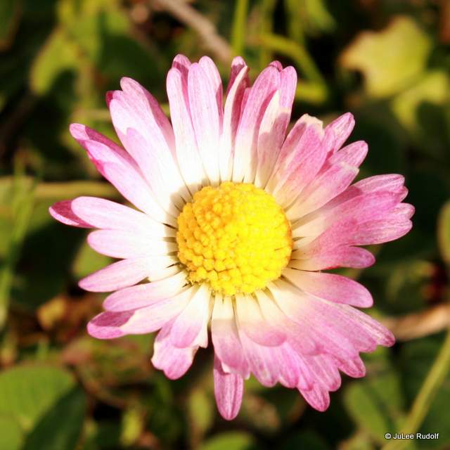
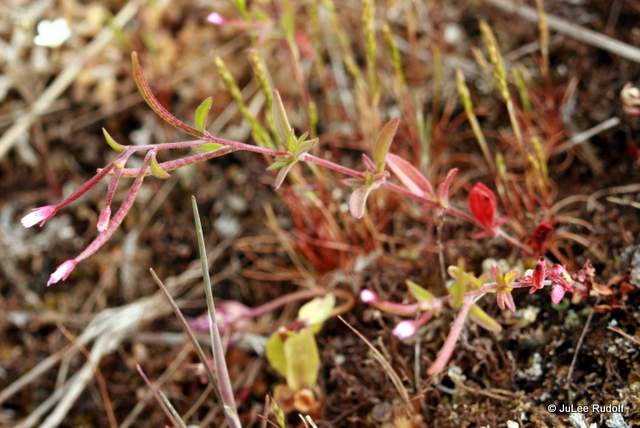
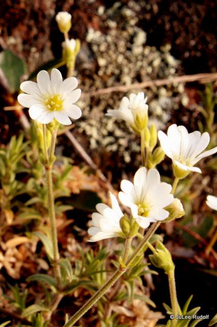
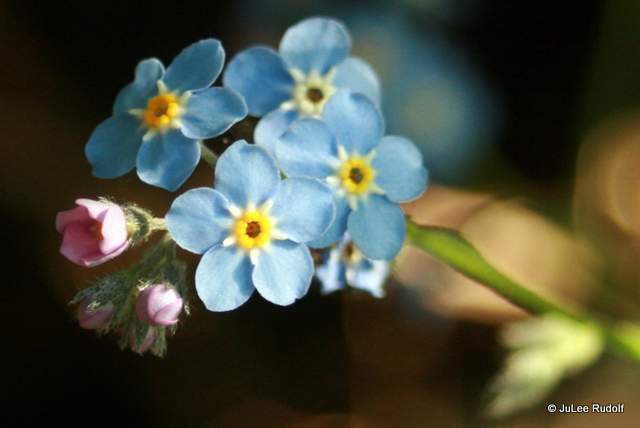
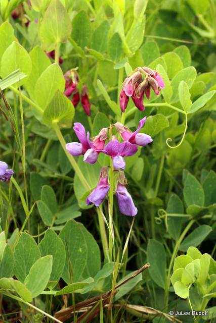
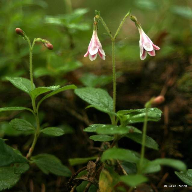
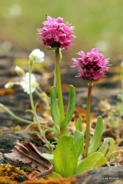
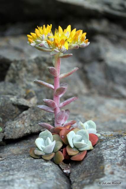
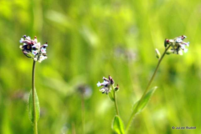
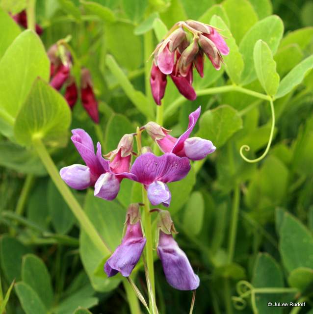
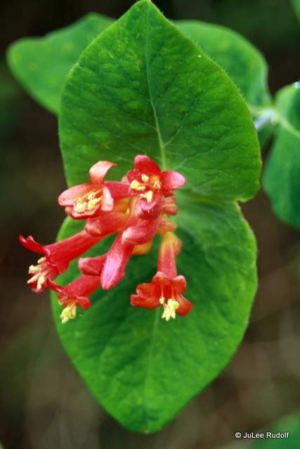
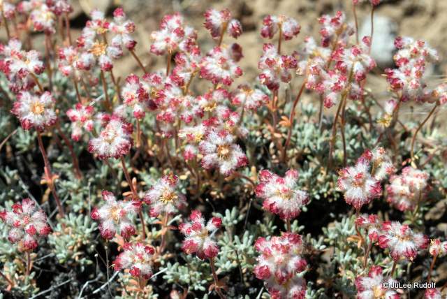
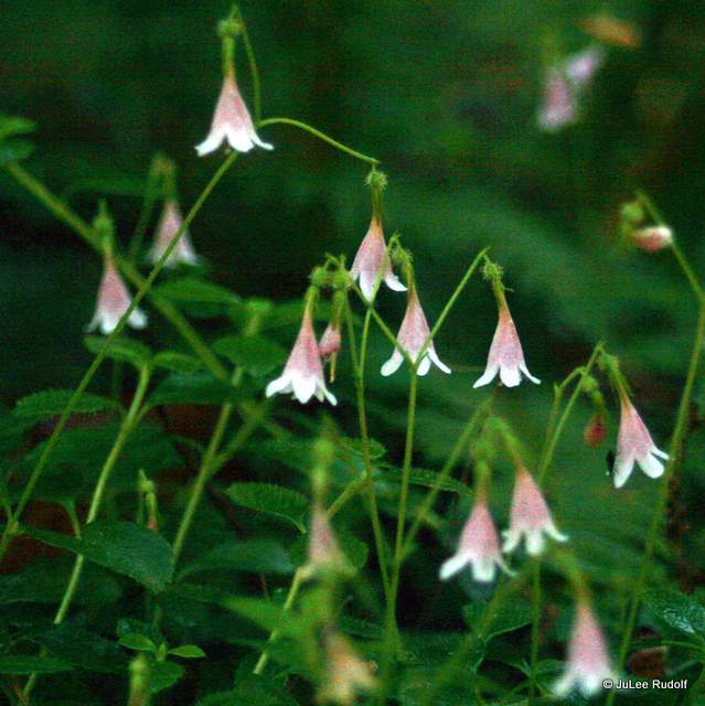 Since I’d recently learned about the Twinflower, actually a shrub, and am a little obsessed with them, I stopped to take photos of a patch of the plants. According to the

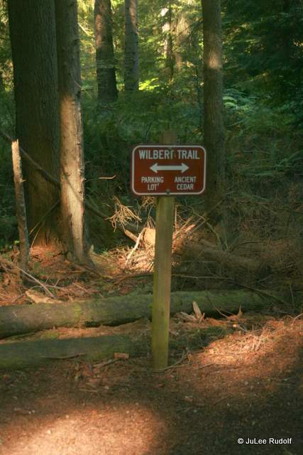
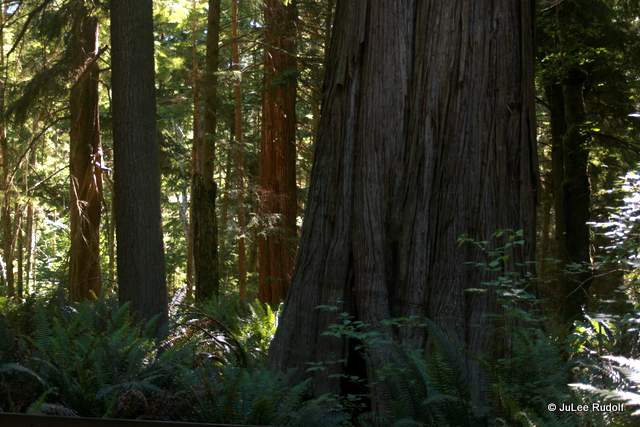
 I had already decided to take the detour off-loop to see the Ancient Cedar. So, when I noticed the signs, I followed them, hoping I wouldn’t get lost.
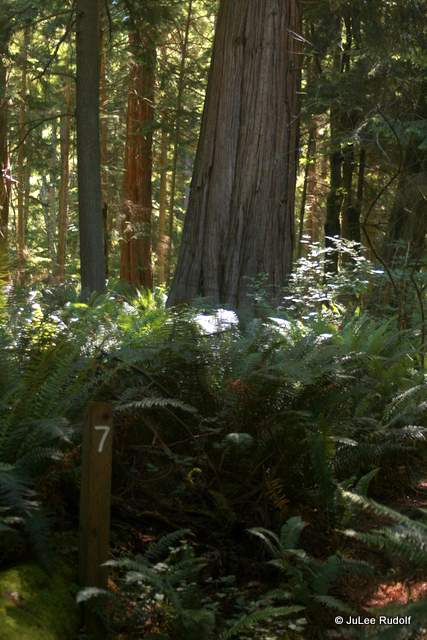
 Numbered stakes mark cedar trees of interest. The one on the left is is not one of the famous Cedar trees, but I couldn’t resist stopping to photograph its neat roots.The one on the right in this shot is a Douglas Fir that appears to be suffering from root rot. I didn’t stop at every marker, but did at a few, numbers 5, 7 on my way to the special tree.
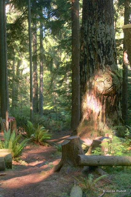
 Finally, I found the Ancient Cedar, a tree that has been around for 500 years, which means it was just a youngster around the time Michelangelo completed work on the Sistine Chapel 9000 miles away, which I only know because I looked it up. I am, after all, geographically challenged.
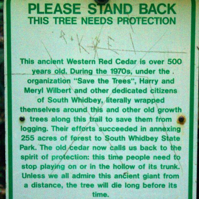


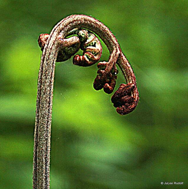
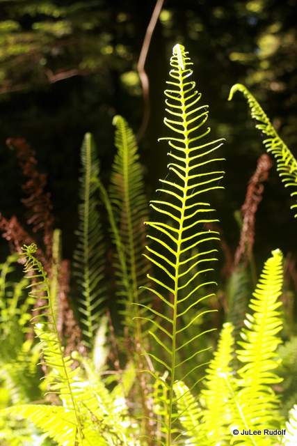 I admired these ferns with fresh fronds that initially grew straight up towards the sky before ending up at at angle as I reached the start of the detour, returned to my vehicle (0.4 miles) and headed home. I checked my watch and noted that the Ancient Cedar encounter detour cost me about 0.7 miles but was well worth it. The entire hike was a mere 2.4 miles with about 400 feet of climb. I think it would also make for a scenic, easy trail run.


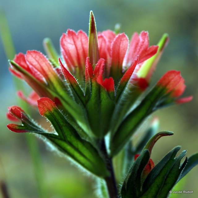
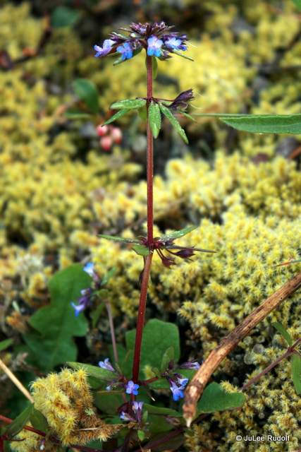
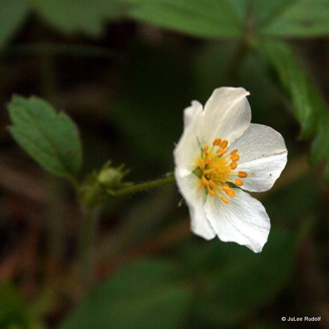
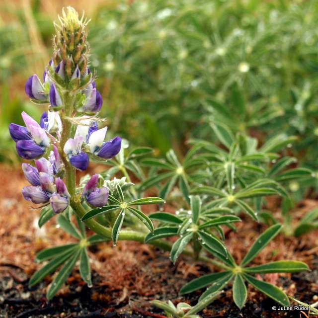
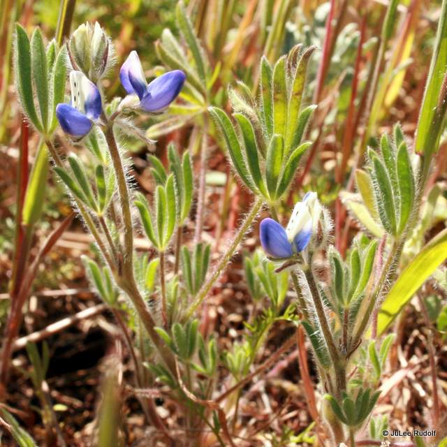
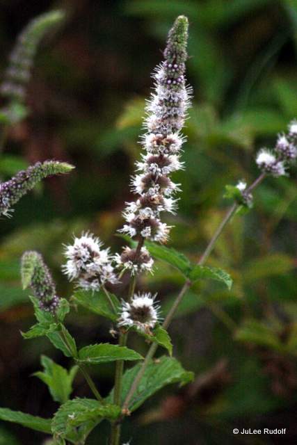
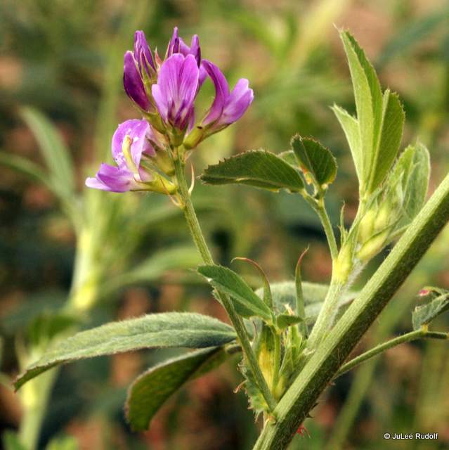
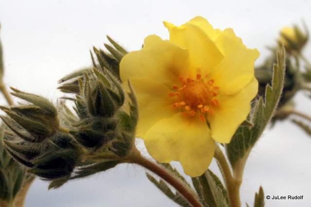
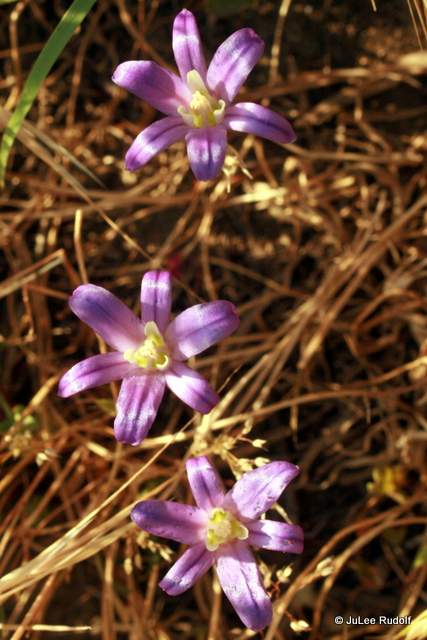
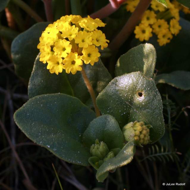
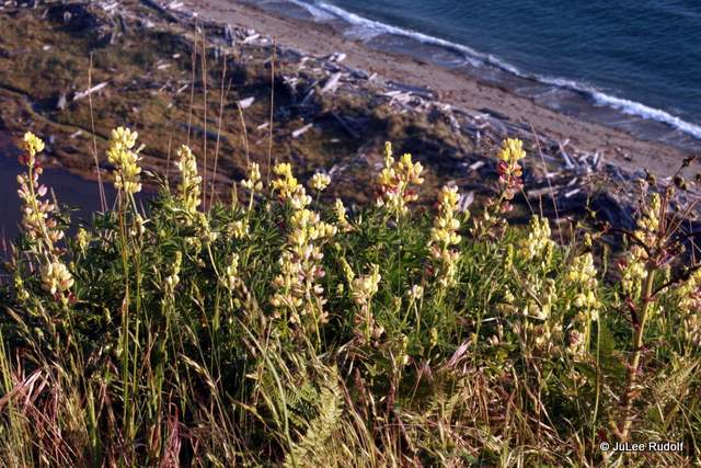
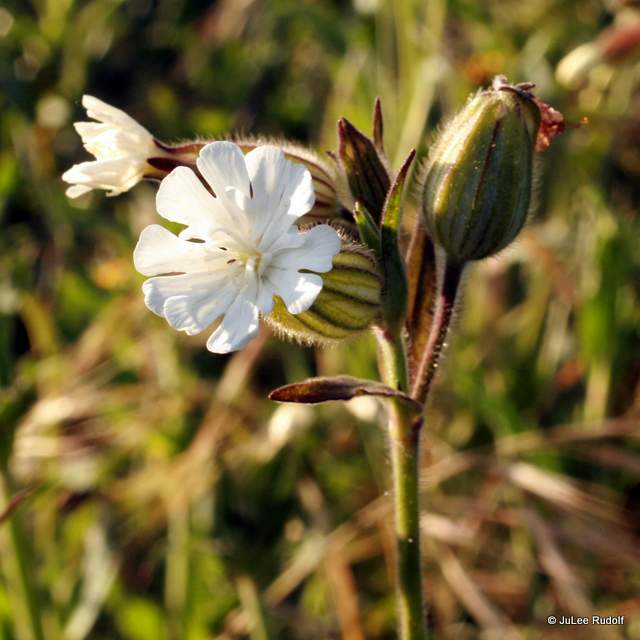
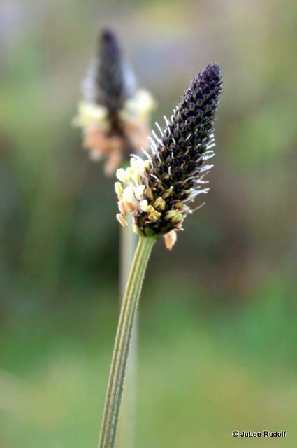
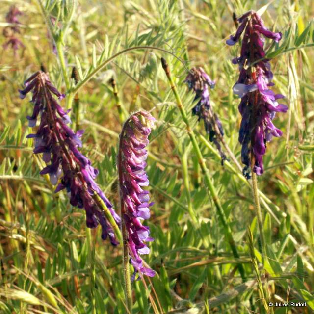
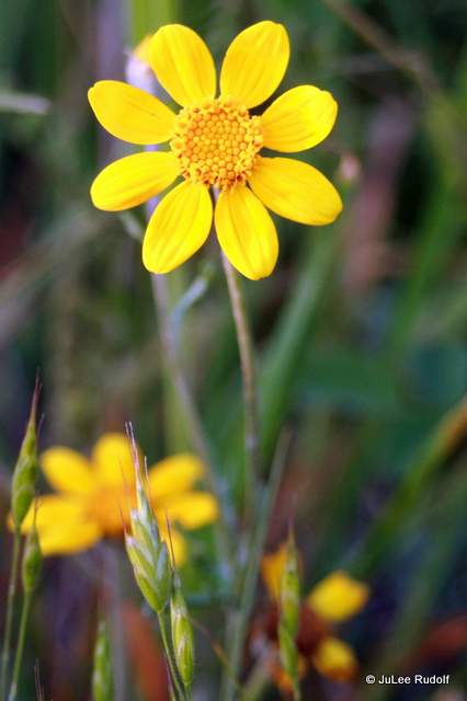
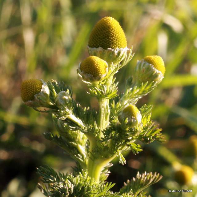
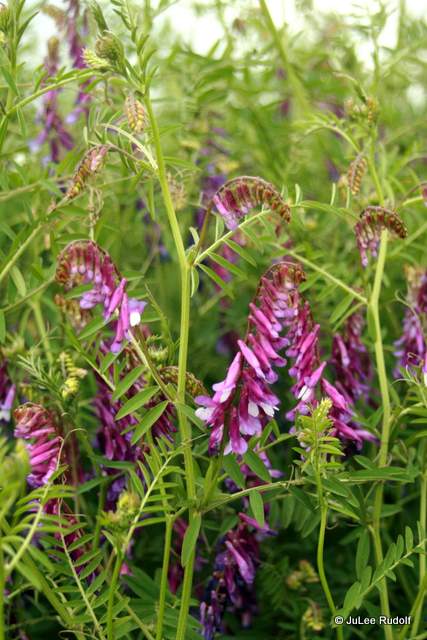
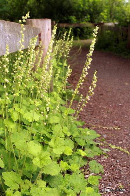
 Not only did I watch for it, sometimes I’d return to places we’d seen the flowers while trail running to admire and photograph them. I checked out the most informative book you can possibly imagine about local flowers, one I’d borrowed several times before and since bought: Plants of the Pacific Northwest Coast.


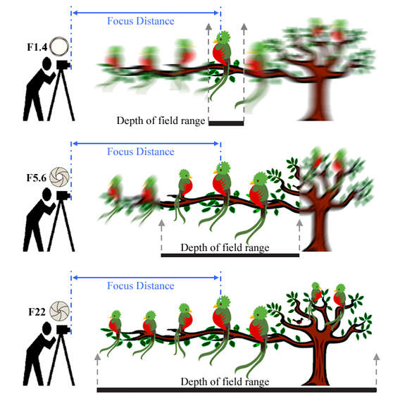 Understand your camera settings like f/stop, well-explained in this

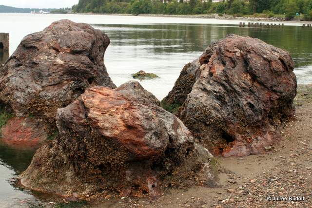
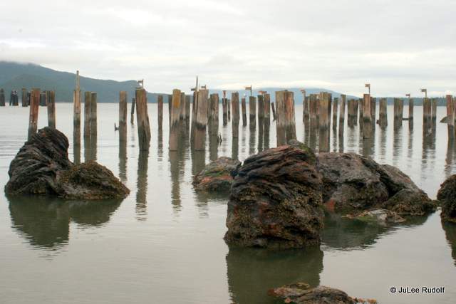


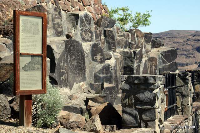
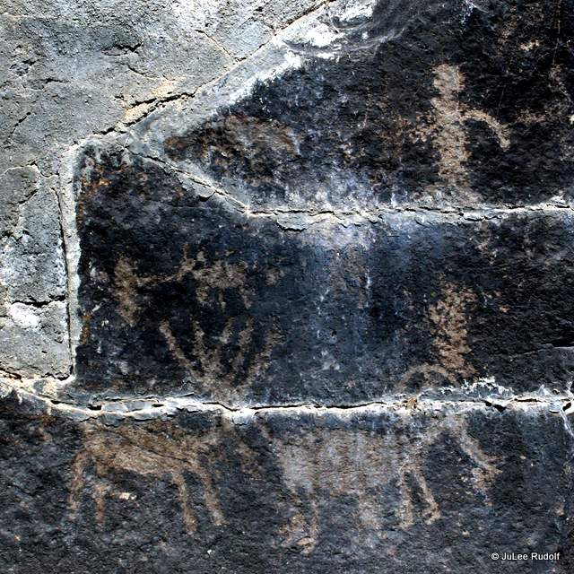
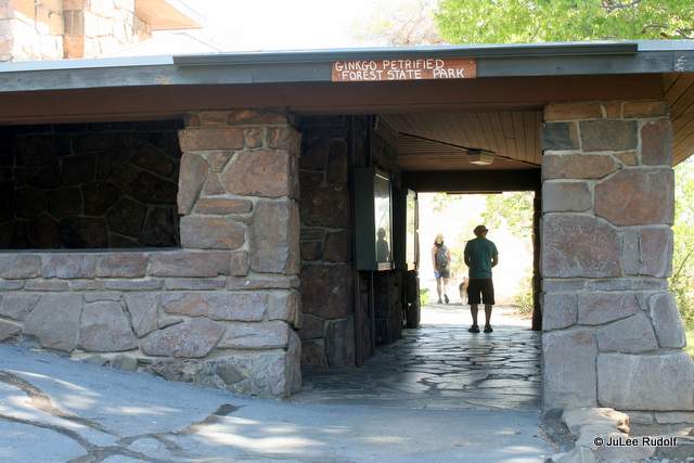
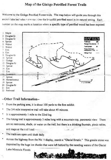
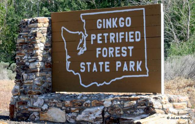
 I had read a few reviews about the park beforehand, which were mixed. It sounded like a neat place to see different species of petrified wood…if you didn’t mind viewing them, zoo-like, encased in cages. Because it only required a short detour of a few miles, I decided to stop.
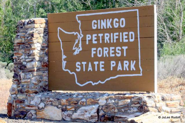


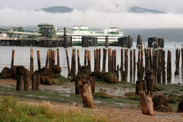
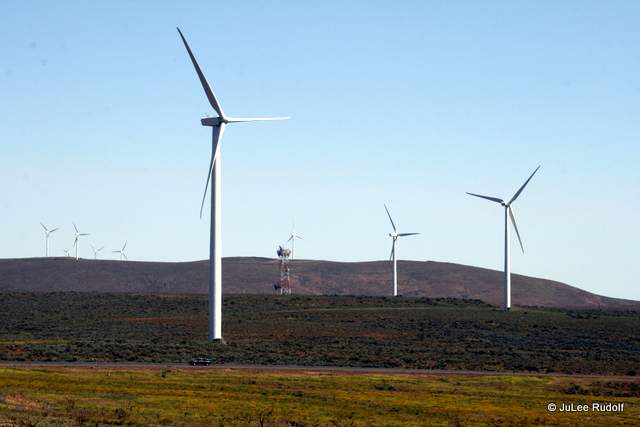
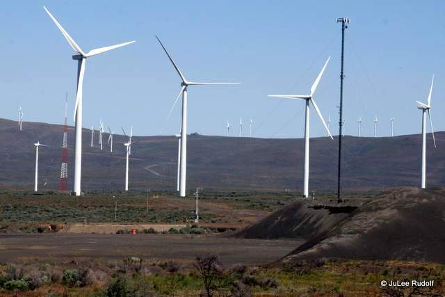
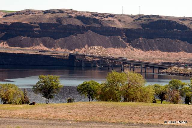
 A few miles further along Interstate 90 across the Columbia River, I stopped briefly at the
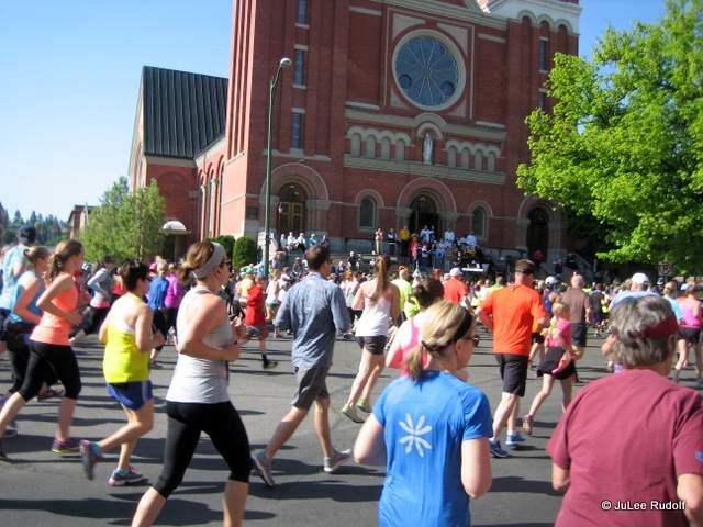

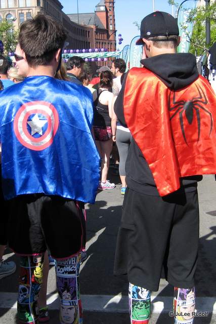
 Nearing the city, I noticed a Variable Message Sign that provided info about the race expo. Fortunately, Vanessa had agreed to pick up our race bibs and the shirt I thought I had to buy before I learned that the $18 registration fee included one made of cotton, and according to a guy I know named Mike, “Cotton kills,” (which just means it’s not to be worn for exercise), so I was happy to have shelled out an additional thirty bucks for
  the water-wicking version.


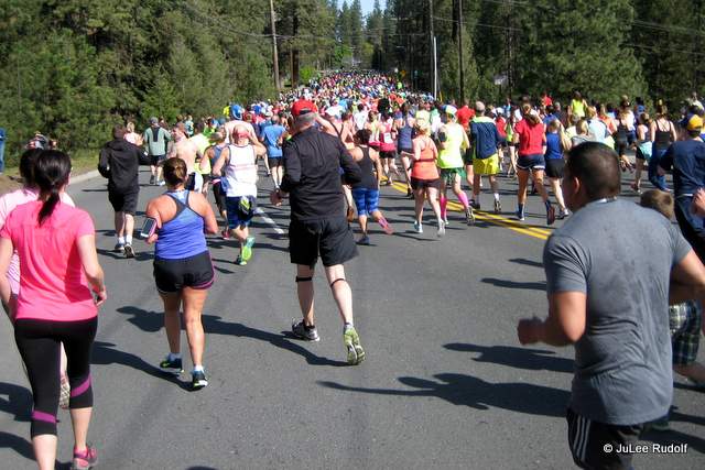


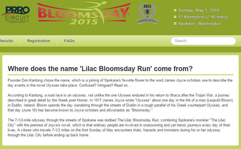
 My advice to prospective participants: skip Ulysses and just run the race. If possible, befriend Vanessa. She’s a great host and an inspiring running partner.